Page 1 of 1
Satellite maps of the world.
Posted: Fri Oct 20, 2006 12:01 am
by Ben
Thought this was quite interesting.
http://www.flashearth.com/
when you zoom in - give it a few moments to reload with the next level of detail.
Good for scoping out tracks - runways etc.
Also - quite scary the level of detail that Satellites can give up.
Posted: Fri Oct 20, 2006 12:04 am
by Ben
You can zoom right in - looks like the images are taken from quite a while back.
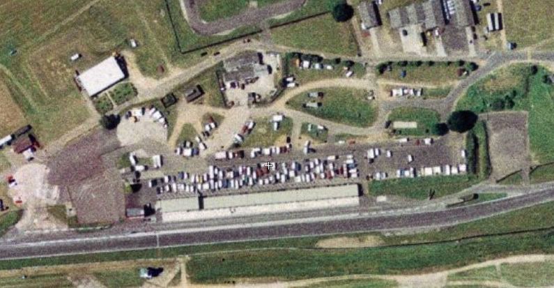
Aswell as Snetterton
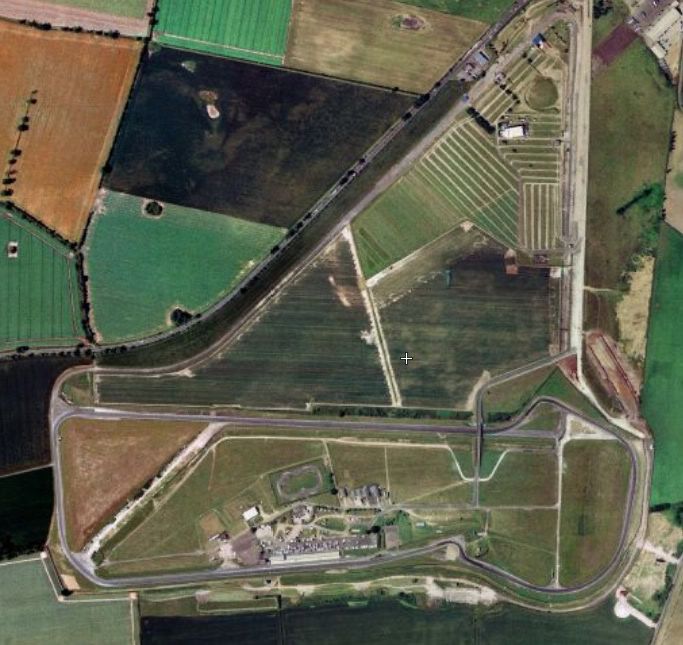
And even closer
Posted: Fri Oct 20, 2006 3:20 am
by Turbosnatch
Dave GT4 told me they are about 2 years old
Posted: Fri Oct 20, 2006 8:08 am
by JC
Turbosnatch wrote:Dave GT4 told me they are about 2 years old
You can get some nice views of The Clyde, Faslane etc, shows all the MCMV's and Submarines... would seem an odd thing to do, publish the whereabouts of our forces vessels if they are up to date :?
JC
Posted: Fri Oct 20, 2006 8:40 am
by Ben
Had look for all airfields in norfolk - you can see the Jags sat on Coltishall - plus didn't realise quite how many disused airfields there are in norfolk.
Posted: Fri Oct 20, 2006 9:24 am
by digler69
use google earth

Posted: Fri Oct 20, 2006 9:31 am
by TonyB
Posted: Mon Oct 30, 2006 8:57 pm
by raj_uk
as someone else said
if you like flash earth you'll love google earth
hurricane katrina before and after was interesting
Posted: Mon Oct 30, 2006 9:58 pm
by mirage
i was looking at flash earth for hours haha
Posted: Mon Oct 30, 2006 10:53 pm
by RX7
JC wrote:Turbosnatch wrote:Dave GT4 told me they are about 2 years old
You can get some nice views of The Clyde, Faslane etc,
I have been to Faslane in the base and slept on a Destroyer, triple bunk beds, not good on the top, you barely have enough room to breathe !!
Also been round the Clyde a few times in my Cadet Force days lol